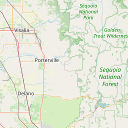
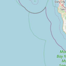
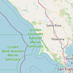
Distance from Visalia to San Lorenzo
Distance between Visalia and San Lorenzo is 293 kilometers (182 miles).
Driving distance from Visalia to San Lorenzo is 330 kilometers (205 miles).
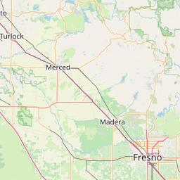
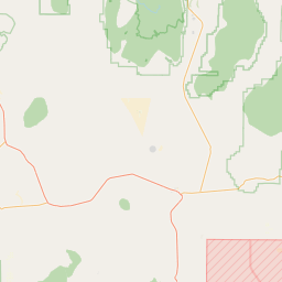
Distance Map Between Visalia and San Lorenzo
Visalia, Sacramento, United States ↔ San Lorenzo, Sacramento, United States = 182 miles = 293 km.

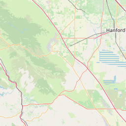
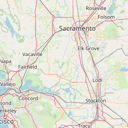


How far is it between Visalia and San Lorenzo
Visalia is located in United States with (36.3302,-119.2921) coordinates and San Lorenzo is located in United States with (37.681,-122.1244) coordinates. The calculated flying distance from Visalia to San Lorenzo is equal to 182 miles which is equal to 293 km.
If you want to go by car, the driving distance between Visalia and San Lorenzo is 330.32 km. If you ride your car with an average speed of 112 kilometers/hour (70 miles/h), travel time will be 02 hours 56 minutes. Please check the avg. speed travel time table on the right for various options.
Difference between fly and go by a car is 37 km.
| City/Place | Latitude and Longitude | GPS Coordinates |
|---|---|---|
| Visalia | 36.3302, -119.2921 | 36° 19´ 48.8280'' N 119° 17´ 31.4160'' W |
| San Lorenzo | 37.681, -122.1244 | 37° 40´ 51.7440'' N 122° 7´ 27.8760'' W |
Estimated Travel Time Between Visalia and San Lorenzo
| Average Speed | Travel Time |
|---|---|
| 30 mph (48 km/h) | 06 hours 52 minutes |
| 40 mph (64 km/h) | 05 hours 09 minutes |
| 50 mph (80 km/h) | 04 hours 07 minutes |
| 60 mph (97 km/h) | 03 hours 24 minutes |
| 70 mph (112 km/h) | 02 hours 56 minutes |
| 75 mph (120 km/h) | 02 hours 45 minutes |
Related Distances from Visalia
| Cities | Distance |
|---|---|
| Visalia to Bakersfield | 125 km |
| Visalia to Santa Barbara | 361 km |
| Visalia to South Lake Tahoe | 479 km |
| Visalia to Porterville | 50 km |
| Visalia to Fresno | 70 km |
Related Distances to San Lorenzo
| Cities | Distance |
|---|---|
| Santa Clara 2 to San Lorenzo 3 | 51 km |
| Stockton to San Lorenzo 3 | 97 km |
| Santa Rosa 2 to San Lorenzo 3 | 114 km |
| San Mateo 2 to San Lorenzo 3 | 32 km |
| Sunnyvale to San Lorenzo 3 | 51 km |