Distance from Walker to Troy
Distance between Walker and Troy is 218 kilometers (135 miles).
Driving distance from Walker to Troy is 265 kilometers (165 miles).
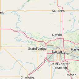
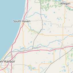
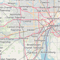
Distance Map Between Walker and Troy
Walker, Lansing, United States ↔ Troy, Lansing, United States = 135 miles = 218 km.


How far is it between Walker and Troy
Walker is located in United States with (43.0014,-85.7681) coordinates and Troy is located in United States with (42.6056,-83.1499) coordinates. The calculated flying distance from Walker to Troy is equal to 135 miles which is equal to 218 km.
If you want to go by car, the driving distance between Walker and Troy is 264.74 km. If you ride your car with an average speed of 112 kilometers/hour (70 miles/h), travel time will be 02 hours 21 minutes. Please check the avg. speed travel time table on the right for various options.
Difference between fly and go by a car is 47 km.
| City/Place | Latitude and Longitude | GPS Coordinates |
|---|---|---|
| Walker | 43.0014, -85.7681 | 43° 0´ 5.0760'' N 85° 46´ 5.1240'' W |
| Troy | 42.6056, -83.1499 | 42° 36´ 20.1240'' N 83° 8´ 59.7480'' W |
Estimated Travel Time Between Walker and Troy
| Average Speed | Travel Time |
|---|---|
| 30 mph (48 km/h) | 05 hours 30 minutes |
| 40 mph (64 km/h) | 04 hours 08 minutes |
| 50 mph (80 km/h) | 03 hours 18 minutes |
| 60 mph (97 km/h) | 02 hours 43 minutes |
| 70 mph (112 km/h) | 02 hours 21 minutes |
| 75 mph (120 km/h) | 02 hours 12 minutes |
Related Distances from Walker
| Cities | Distance |
|---|---|
| Walker to Grand Rapids | 16 km |
| Walker to Kentwood | 30 km |
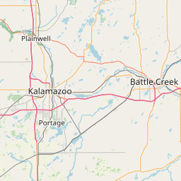
| Walker to Battle Creek | 144 km |
| Walker to Kalamazoo | 96 km |
| Walker to Grandville | 13 km |
Related Distances to Troy
| Cities | Distance |
|---|---|
| Athens 4 to Troy 4 | 378 km |
| Auburn 2 to Troy 4 | 137 km |
| Tuscaloosa to Troy 4 | 241 km |
| Westland to Troy | 69 km |
| Utica to Troy 2 | 159 km |