Distance from Warren to Muskegon
Distance between Warren and Muskegon is 276 kilometers (171 miles).
Driving distance from Warren to Muskegon is 312 kilometers (194 miles).
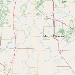
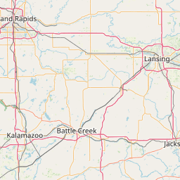
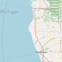
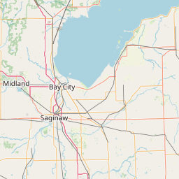
Distance Map Between Warren and Muskegon
Warren, Lansing, United States ↔ Muskegon, Lansing, United States = 171 miles = 276 km.

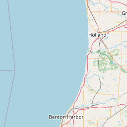
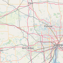
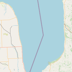

How far is it between Warren and Muskegon
Warren is located in United States with (42.4775,-83.0277) coordinates and Muskegon is located in United States with (43.2342,-86.2484) coordinates. The calculated flying distance from Warren to Muskegon is equal to 171 miles which is equal to 276 km.
If you want to go by car, the driving distance between Warren and Muskegon is 311.91 km. If you ride your car with an average speed of 112 kilometers/hour (70 miles/h), travel time will be 02 hours 47 minutes. Please check the avg. speed travel time table on the right for various options.
Difference between fly and go by a car is 36 km.
| City/Place | Latitude and Longitude | GPS Coordinates |
|---|---|---|
| Warren | 42.4775, -83.0277 | 42° 28´ 39.1440'' N 83° 1´ 39.7200'' W |
| Muskegon | 43.2342, -86.2484 | 43° 14´ 3.0480'' N 86° 14´ 54.2040'' W |
Estimated Travel Time Between Warren and Muskegon
| Average Speed | Travel Time |
|---|---|
| 30 mph (48 km/h) | 06 hours 29 minutes |
| 40 mph (64 km/h) | 04 hours 52 minutes |
| 50 mph (80 km/h) | 03 hours 53 minutes |
| 60 mph (97 km/h) | 03 hours 12 minutes |
| 70 mph (112 km/h) | 02 hours 47 minutes |
| 75 mph (120 km/h) | 02 hours 35 minutes |
Related Distances from Warren
| Cities | Distance |
|---|---|
| Warren to Detroit | 28 km |
| Warren to Ann Arbor | 81 km |
| Warren to Flint | 100 km |
| Warren to Sterling Heights | 14 km |
| Warren to Grand Rapids | 249 km |
Related Distances to Muskegon
| Cities | Distance |
|---|---|
| Saginaw to Muskegon | 207 km |
| Taylor to Muskegon | 320 km |
| Southfield to Muskegon | 293 km |
| Troy to Muskegon | 313 km |
| Ypsilanti to Muskegon | 294 km |