Distance from Warsaw to Lecce
Distance between Warsaw and Lecce is 1338 kilometers (831 miles).
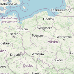
Distance Map Between Warsaw and Lecce
Warsaw, Poland ↔ Lecce, Bari, Italy = 831 miles = 1338 km.


Leaflet | © OpenStreetMap
How far is it between Warsaw and Lecce
Warsaw is located in Poland with (52.2298,21.0118) coordinates and Lecce is located in Italy with (40.3548,18.1724) coordinates. The calculated flying distance from Warsaw to Lecce is equal to 831 miles which is equal to 1338 km.
| City/Place | Latitude and Longitude | GPS Coordinates |
|---|---|---|
| Warsaw | 52.2298, 21.0118 | 52° 13´ 47.1720'' N 21° 0´ 42.4080'' E |
| Lecce | 40.3548, 18.1724 | 40° 21´ 17.3160'' N 18° 10´ 20.7840'' E |
Warsaw, Poland
Related Distances from Warsaw
| Cities | Distance |
|---|---|
| Warsaw to Rome | 1802 km |
| Warsaw to Venice | 1286 km |
| Warsaw to Milano | 1571 km |
| Warsaw to Florence | 1524 km |
| Warsaw to Turin | 1690 km |
Lecce, Bari, Italy
Related Distances to Lecce
| Cities | Distance |
|---|---|
| Gallipoli to Lecce | 48 km |
| Brindisi to Lecce | 40 km |
| Fasano to Lecce | 97 km |
| Ceglie Messapica to Lecce | 86 km |
| Conversano to Lecce | 126 km |