Distance from Warsaw to Luninyets
Distance between Warsaw and Luninyets is 394 kilometers (245 miles).
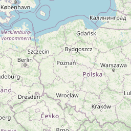
Distance Map Between Warsaw and Luninyets
Warsaw, Poland ↔ Luninyets, Brest, Belarus = 245 miles = 394 km.


Leaflet | © OpenStreetMap
How far is it between Warsaw and Luninyets
Warsaw is located in Poland with (52.2298,21.0118) coordinates and Luninyets is located in Belarus with (52.2472,26.8047) coordinates. The calculated flying distance from Warsaw to Luninyets is equal to 245 miles which is equal to 394 km.
| City/Place | Latitude and Longitude | GPS Coordinates |
|---|---|---|
| Warsaw | 52.2298, 21.0118 | 52° 13´ 47.1720'' N 21° 0´ 42.4080'' E |
| Luninyets | 52.2472, 26.8047 | 52° 14´ 49.9200'' N 26° 48´ 16.9200'' E |
Warsaw, Poland
Related Distances from Warsaw
| Cities | Distance |
|---|---|
| Warsaw to Minsk | 540 km |
| Warsaw to Brest | 203 km |
| Warsaw to Baranovichi | 417 km |
| Warsaw to Vitebsk | 827 km |
| Warsaw to Gomel | 734 km |
Luninyets, Brest, Belarus
Related Distances to Luninyets
| Cities | Distance |
|---|---|
| Byaroza to Luninyets | 169 km |
| Baranovichi to Luninyets | 137 km |
| Kobryn to Luninyets | 185 km |