Distance from Waverly to Burton
Distance between Waverly and Burton is 87 kilometers (54 miles).
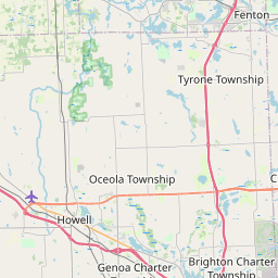
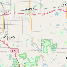
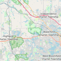
Distance Map Between Waverly and Burton
Waverly, Lansing, United States ↔ Burton, Lansing, United States = 54 miles = 87 km.
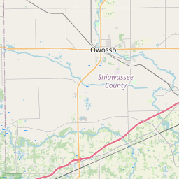


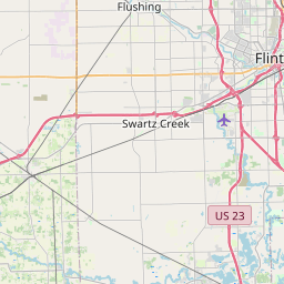
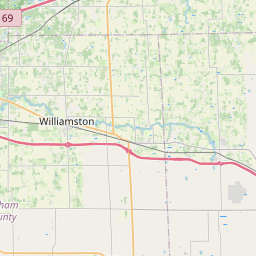


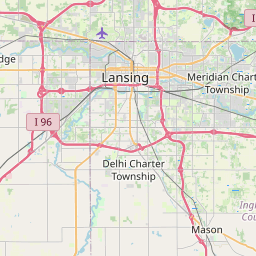


Leaflet | © OpenStreetMap
How far is it between Waverly and Burton
Waverly is located in United States with (42.7392,-84.6208) coordinates and Burton is located in United States with (42.9995,-83.6163) coordinates. The calculated flying distance from Waverly to Burton is equal to 54 miles which is equal to 87 km.
| City/Place | Latitude and Longitude | GPS Coordinates |
|---|---|---|
| Waverly | 42.7392, -84.6208 | 42° 44´ 21.1200'' N 84° 37´ 14.9160'' W |
| Burton | 42.9995, -83.6163 | 42° 59´ 58.0920'' N 83° 36´ 58.8240'' W |
Waverly, Lansing, United States
Related Distances from Waverly
| Cities | Distance |
|---|---|
| Waverly to Jackson 4 | 69 km |
| Waverly to Trenton 2 | 169 km |
| Waverly to Midland 2 | 139 km |
| Waverly to Birmingham 3 | 139 km |
| Waverly to Lincoln Park | 157 km |
Burton, Lansing, United States
Related Distances to Burton
| Cities | Distance |
|---|---|
| Troy to Burton | 82 km |
| Detroit to Burton | 115 km |
| Flint to Burton | 8 km |
| Saginaw to Burton | 66 km |
| Rochester Hills to Burton | 79 km |