Distance from Wayne to Shelby
Distance between Wayne and Shelby is 52 kilometers (32 miles).
Driving distance from Wayne to Shelby is 87 kilometers (54 miles).
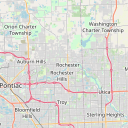
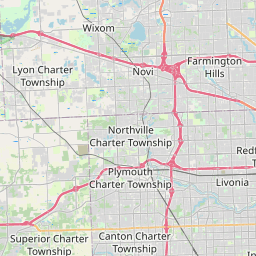
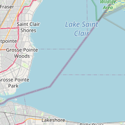
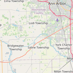
Distance Map Between Wayne and Shelby
Wayne, Lansing, United States ↔ Shelby, Lansing, United States = 32 miles = 52 km.
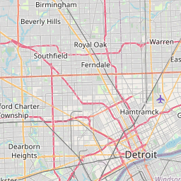

How far is it between Wayne and Shelby
Wayne is located in United States with (42.2814,-83.3863) coordinates and Shelby is located in United States with (42.6709,-83.033) coordinates. The calculated flying distance from Wayne to Shelby is equal to 32 miles which is equal to 52 km.
If you want to go by car, the driving distance between Wayne and Shelby is 86.56 km. If you ride your car with an average speed of 112 kilometers/hour (70 miles/h), travel time will be 00 hours 46 minutes. Please check the avg. speed travel time table on the right for various options.
Difference between fly and go by a car is 35 km.
| City/Place | Latitude and Longitude | GPS Coordinates |
|---|---|---|
| Wayne | 42.2814, -83.3863 | 42° 16´ 53.1480'' N 83° 23´ 10.7520'' W |
| Shelby | 42.6709, -83.033 | 42° 40´ 15.1320'' N 83° 1´ 58.7280'' W |
Estimated Travel Time Between Wayne and Shelby
| Average Speed | Travel Time |
|---|---|
| 30 mph (48 km/h) | 01 hours 48 minutes |
| 40 mph (64 km/h) | 01 hours 21 minutes |
| 50 mph (80 km/h) | 01 hours 04 minutes |
| 60 mph (97 km/h) | 00 hours 53 minutes |
| 70 mph (112 km/h) | 00 hours 46 minutes |
| 75 mph (120 km/h) | 00 hours 43 minutes |
Related Distances from Wayne
| Cities | Distance |
|---|---|
| Wayne 3 to Livonia | 13 km |
| Wayne 3 to Dearborn | 18 km |
| Wayne 3 to Pontiac | 58 km |
| Wayne 3 to Southfield | 45 km |
| Wayne 3 to Ann Arbor | 36 km |
Related Distances to Shelby
| Cities | Distance |
|---|---|
| Terre Haute to Shelbyville 2 | 167 km |
| Springfield 8 to Shelbyville | 134 km |
| Franklin 4 to Shelbyville 2 | 26 km |
| South Bend to Shelbyville 2 | 267 km |
| Tullahoma to Shelbyville | 29 km |