Distance from Welland to Guelph
Distance between Welland and Guelph is 103 kilometers (64 miles).
Driving distance from Welland to Guelph is 134 kilometers (83 miles).
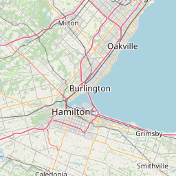
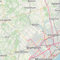
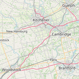
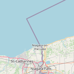
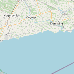
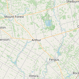
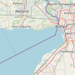
Distance Map Between Welland and Guelph
Welland, Ontario, Canada ↔ Guelph, Ontario, Canada = 64 miles = 103 km.


How far is it between Welland and Guelph
Welland is located in Canada with (42.9834,-79.2496) coordinates and Guelph is located in Canada with (43.5459,-80.256) coordinates. The calculated flying distance from Welland to Guelph is equal to 64 miles which is equal to 103 km.
If you want to go by car, the driving distance between Welland and Guelph is 134.1 km. If you ride your car with an average speed of 112 kilometers/hour (70 miles/h), travel time will be 01 hours 11 minutes. Please check the avg. speed travel time table on the right for various options.
Difference between fly and go by a car is 31 km.
| City/Place | Latitude and Longitude | GPS Coordinates |
|---|---|---|
| Welland | 42.9834, -79.2496 | 42° 59´ 0.3120'' N 79° 14´ 58.4880'' W |
| Guelph | 43.5459, -80.256 | 43° 32´ 45.3840'' N 80° 15´ 21.5640'' W |
Estimated Travel Time Between Welland and Guelph
| Average Speed | Travel Time |
|---|---|
| 30 mph (48 km/h) | 02 hours 47 minutes |
| 40 mph (64 km/h) | 02 hours 05 minutes |
| 50 mph (80 km/h) | 01 hours 40 minutes |
| 60 mph (97 km/h) | 01 hours 22 minutes |
| 70 mph (112 km/h) | 01 hours 11 minutes |
| 75 mph (120 km/h) | 01 hours 07 minutes |
Related Distances from Welland
| Cities | Distance |
|---|---|
| Welland to Toronto | 146 km |
| Welland to Niagara Falls | 28 km |
| Welland to Hamilton | 79 km |
| Welland to Brampton | 130 km |
| Welland to St Catharines | 25 km |
Related Distances to Guelph
| Cities | Distance |
|---|---|
| Toronto to Guelph | 90 km |
| Hamilton to Guelph | 54 km |
| Kitchener to Guelph | 32 km |
| London 2 to Guelph | 119 km |
| Mississauga to Guelph | 71 km |