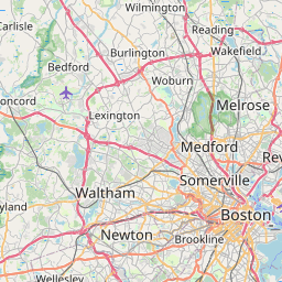
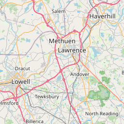
Distance from Wellesley to Dracut
Distance between Wellesley and Dracut is 42 kilometers (26 miles).
Driving distance from Wellesley to Dracut is 50 kilometers (31 miles).
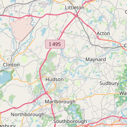
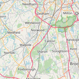
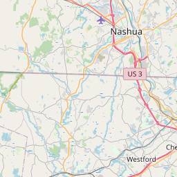
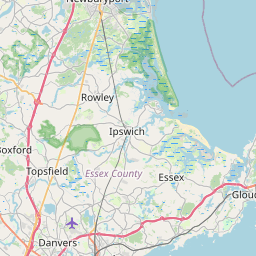
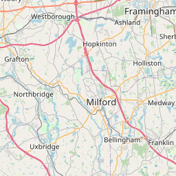
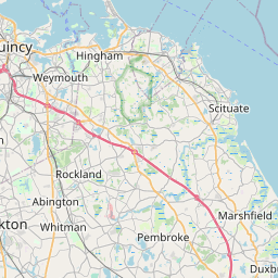
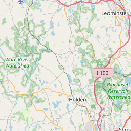
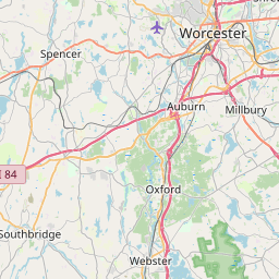
Distance Map Between Wellesley and Dracut
Wellesley, Boston, United States ↔ Dracut, Boston, United States = 26 miles = 42 km.


How far is it between Wellesley and Dracut
Wellesley is located in United States with (42.2965,-71.2926) coordinates and Dracut is located in United States with (42.6704,-71.302) coordinates. The calculated flying distance from Wellesley to Dracut is equal to 26 miles which is equal to 42 km.
If you want to go by car, the driving distance between Wellesley and Dracut is 49.59 km. If you ride your car with an average speed of 112 kilometers/hour (70 miles/h), travel time will be 00 hours 26 minutes. Please check the avg. speed travel time table on the right for various options.
Difference between fly and go by a car is 8 km.
| City/Place | Latitude and Longitude | GPS Coordinates |
|---|---|---|
| Wellesley | 42.2965, -71.2926 | 42° 17´ 47.3640'' N 71° 17´ 33.2160'' W |
| Dracut | 42.6704, -71.302 | 42° 40´ 13.3320'' N 71° 18´ 7.2360'' W |
Estimated Travel Time Between Wellesley and Dracut
| Average Speed | Travel Time |
|---|---|
| 30 mph (48 km/h) | 01 hours 01 minutes |
| 40 mph (64 km/h) | 00 hours 46 minutes |
| 50 mph (80 km/h) | 00 hours 37 minutes |
| 60 mph (97 km/h) | 00 hours 30 minutes |
| 70 mph (112 km/h) | 00 hours 26 minutes |
| 75 mph (120 km/h) | 00 hours 24 minutes |
Related Distances from Wellesley
| Cities | Distance |
|---|---|
| Wellesley to Burlington 5 | 30 km |
| Wellesley to Cambridge 3 | 22 km |
| Wellesley to Sudbury | 18 km |
| Wellesley to Milton 3 | 30 km |
| Wellesley to Dedham | 13 km |
Related Distances to Dracut
| Cities | Distance |
|---|---|
| Waltham to Dracut | 40 km |
| Tewksbury to Dracut | 12 km |
| Melrose to Dracut | 42 km |
| Haverhill to Dracut | 28 km |
| Methuen to Dracut | 13 km |