Distance from Wellesley to Rockland
Distance between Wellesley and Rockland is 36 kilometers (22 miles).
Driving distance from Wellesley to Rockland is 47 kilometers (29 miles).
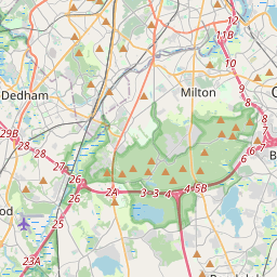
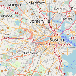
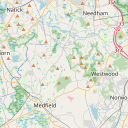
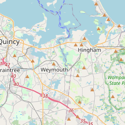
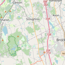
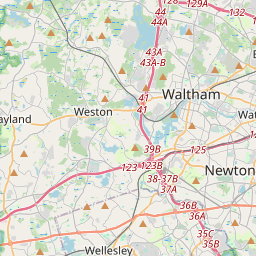
Distance Map Between Wellesley and Rockland
Wellesley, Boston, United States ↔ Rockland, Boston, United States = 22 miles = 36 km.
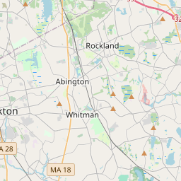


How far is it between Wellesley and Rockland
Wellesley is located in United States with (42.2965,-71.2926) coordinates and Rockland is located in United States with (42.1307,-70.9162) coordinates. The calculated flying distance from Wellesley to Rockland is equal to 22 miles which is equal to 36 km.
If you want to go by car, the driving distance between Wellesley and Rockland is 46.61 km. If you ride your car with an average speed of 112 kilometers/hour (70 miles/h), travel time will be 00 hours 24 minutes. Please check the avg. speed travel time table on the right for various options.
Difference between fly and go by a car is 11 km.
| City/Place | Latitude and Longitude | GPS Coordinates |
|---|---|---|
| Wellesley | 42.2965, -71.2926 | 42° 17´ 47.3640'' N 71° 17´ 33.2160'' W |
| Rockland | 42.1307, -70.9162 | 42° 7´ 50.3760'' N 70° 54´ 58.1760'' W |
Estimated Travel Time Between Wellesley and Rockland
| Average Speed | Travel Time |
|---|---|
| 30 mph (48 km/h) | 00 hours 58 minutes |
| 40 mph (64 km/h) | 00 hours 43 minutes |
| 50 mph (80 km/h) | 00 hours 34 minutes |
| 60 mph (97 km/h) | 00 hours 28 minutes |
| 70 mph (112 km/h) | 00 hours 24 minutes |
| 75 mph (120 km/h) | 00 hours 23 minutes |
Related Distances from Wellesley
| Cities | Distance |
|---|---|
| Wellesley to Burlington 5 | 30 km |
| Wellesley to Cambridge 3 | 22 km |
| Wellesley to Sudbury | 18 km |
| Wellesley to Milton 3 | 30 km |
| Wellesley to Dedham | 13 km |
Related Distances to Rockland
| Cities | Distance |
|---|---|
| Weymouth to Rockland | 15 km |
| Winchester 4 to Rockland | 48 km |
| Saugus to Rockland | 52 km |
| Waltham to Rockland | 56 km |
| Sudbury to Rockland | 66 km |