Distance from West Vancouver to White Rock
Distance between West Vancouver and White Rock is 47 kilometers (29 miles).
Driving distance from West Vancouver to White Rock is 80 kilometers (50 miles).
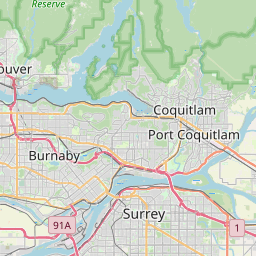
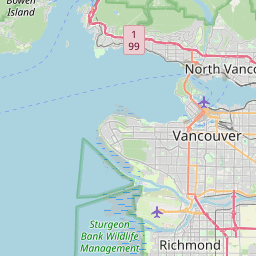
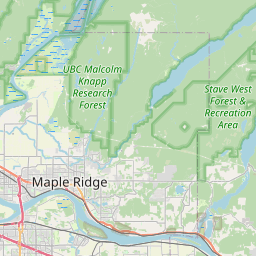
Distance Map Between West Vancouver and White Rock
West Vancouver, Victoria, Canada ↔ White Rock, Victoria, Canada = 29 miles = 47 km.


How far is it between West Vancouver and White Rock
West Vancouver is located in Canada with (49.3667,-123.1665) coordinates and White Rock is located in Canada with (49.0164,-122.8026) coordinates. The calculated flying distance from West Vancouver to White Rock is equal to 29 miles which is equal to 47 km.
If you want to go by car, the driving distance between West Vancouver and White Rock is 79.98 km. If you ride your car with an average speed of 112 kilometers/hour (70 miles/h), travel time will be 00 hours 42 minutes. Please check the avg. speed travel time table on the right for various options.
Difference between fly and go by a car is 33 km.
| City/Place | Latitude and Longitude | GPS Coordinates |
|---|---|---|
| West Vancouver | 49.3667, -123.1665 | 49° 22´ 0.1920'' N 123° 9´ 59.4720'' W |
| White Rock | 49.0164, -122.8026 | 49° 0´ 58.8960'' N 122° 48´ 9.3600'' W |
Estimated Travel Time Between West Vancouver and White Rock
| Average Speed | Travel Time |
|---|---|
| 30 mph (48 km/h) | 01 hours 39 minutes |
| 40 mph (64 km/h) | 01 hours 14 minutes |
| 50 mph (80 km/h) | 00 hours 59 minutes |
| 60 mph (97 km/h) | 00 hours 49 minutes |
| 70 mph (112 km/h) | 00 hours 42 minutes |
| 75 mph (120 km/h) | 00 hours 39 minutes |
Related Distances from West Vancouver
| Cities | Distance |
|---|---|
| West Vancouver to North Vancouver | 23 km |
| West Vancouver to Delta | 56 km |
| West Vancouver to Surrey | 64 km |
| West Vancouver to Abbotsford | 100 km |
| West Vancouver to Vancouver | 28 km |
Related Distances to White Rock
| Cities | Distance |
|---|---|
| Ladner to White Rock | 33 km |
| West Kelowna to White Rock | 354 km |
| West Vancouver to White Rock | 80 km |
| Walnut Grove to White Rock | 28 km |
| Okanagan to White Rock | 432 km |