Distance from Weston to Bartow
Distance between Weston and Bartow is 246 kilometers (153 miles).
Distance Map Between Weston and Bartow
Weston, Tallahassee, United States ↔ Bartow, Tallahassee, United States = 153 miles = 246 km.

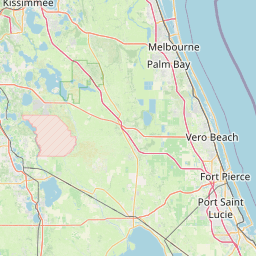
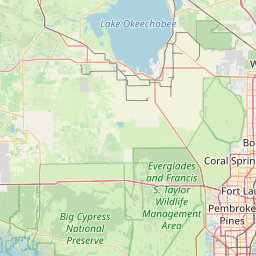
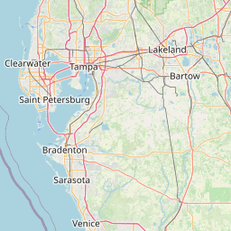

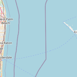


Leaflet | © OpenStreetMap
How far is it between Weston and Bartow
Weston is located in United States with (26.1004,-80.3998) coordinates and Bartow is located in United States with (27.8964,-81.8431) coordinates. The calculated flying distance from Weston to Bartow is equal to 153 miles which is equal to 246 km.
| City/Place | Latitude and Longitude | GPS Coordinates |
|---|---|---|
| Weston | 26.1004, -80.3998 | 26° 6´ 1.3320'' N 80° 23´ 59.1720'' W |
| Bartow | 27.8964, -81.8431 | 27° 53´ 47.0760'' N 81° 50´ 35.3040'' W |
Weston, Tallahassee, United States
Related Distances from Weston
| Cities | Distance |
|---|---|
| Weston to Miami | 58 km |
| Weston to Fort Lauderdale | 38 km |
| Weston to Boca Raton | 61 km |
| Weston to Jupiter | 129 km |
| Weston to West Palm Beach | 101 km |
Bartow, Tallahassee, United States
Related Distances to Bartow
| Cities | Distance |
|---|---|
| Lakeland to Bartow | 20 km |
| Tampa to Bartow | 74 km |
| Winter Haven to Bartow | 19 km |
| Wesley Chapel to Bartow | 76 km |
| Plant City to Bartow | 38 km |