Distance from Weston to Kendall
Distance between Weston and Kendall is 48 kilometers (30 miles).
Driving distance from Weston to Kendall is 55 kilometers (34 miles).
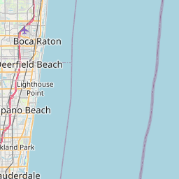
Distance Map Between Weston and Kendall
Weston, Tallahassee, United States ↔ Kendall, Tallahassee, United States = 30 miles = 48 km.

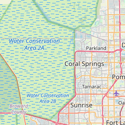


How far is it between Weston and Kendall
Weston is located in United States with (26.1004,-80.3998) coordinates and Kendall is located in United States with (25.6793,-80.3173) coordinates. The calculated flying distance from Weston to Kendall is equal to 30 miles which is equal to 48 km.
If you want to go by car, the driving distance between Weston and Kendall is 54.67 km. If you ride your car with an average speed of 112 kilometers/hour (70 miles/h), travel time will be 00 hours 29 minutes. Please check the avg. speed travel time table on the right for various options.
Difference between fly and go by a car is 7 km.
| City/Place | Latitude and Longitude | GPS Coordinates |
|---|---|---|
| Weston | 26.1004, -80.3998 | 26° 6´ 1.3320'' N 80° 23´ 59.1720'' W |
| Kendall | 25.6793, -80.3173 | 25° 40´ 45.3720'' N 80° 19´ 2.1720'' W |
Estimated Travel Time Between Weston and Kendall
| Average Speed | Travel Time |
|---|---|
| 30 mph (48 km/h) | 01 hours 08 minutes |
| 40 mph (64 km/h) | 00 hours 51 minutes |
| 50 mph (80 km/h) | 00 hours 41 minutes |
| 60 mph (97 km/h) | 00 hours 33 minutes |
| 70 mph (112 km/h) | 00 hours 29 minutes |
| 75 mph (120 km/h) | 00 hours 27 minutes |
Related Distances from Weston
| Cities | Distance |
|---|---|
| Weston to Miami | 58 km |
| Weston to Fort Lauderdale | 38 km |
| Weston to Boca Raton | 61 km |
| Weston to Jupiter | 129 km |
| Weston to West Palm Beach | 101 km |
Related Distances to Kendall
| Cities | Distance |
|---|---|
| Miami Beach to Kendall | 33 km |
| North Miami to Kendall | 37 km |
| West Palm Beach to Kendall | 135 km |
| Miami Lakes to Kendall | 29 km |
| Miramar to Kendall | 44 km |