Distance from Weymouth to Easton
Distance between Weymouth and Easton is 27 kilometers (17 miles).
Driving distance from Weymouth to Easton is 40 kilometers (25 miles).
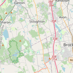
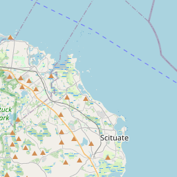
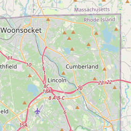
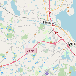
Distance Map Between Weymouth and Easton
Weymouth, Boston, United States ↔ Easton, Boston, United States = 17 miles = 27 km.
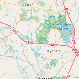
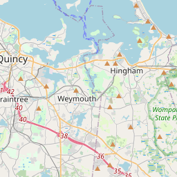

How far is it between Weymouth and Easton
Weymouth is located in United States with (42.2209,-70.9398) coordinates and Easton is located in United States with (42.0245,-71.1287) coordinates. The calculated flying distance from Weymouth to Easton is equal to 17 miles which is equal to 27 km.
If you want to go by car, the driving distance between Weymouth and Easton is 40.23 km. If you ride your car with an average speed of 112 kilometers/hour (70 miles/h), travel time will be 00 hours 21 minutes. Please check the avg. speed travel time table on the right for various options.
Difference between fly and go by a car is 13 km.
| City/Place | Latitude and Longitude | GPS Coordinates |
|---|---|---|
| Weymouth | 42.2209, -70.9398 | 42° 13´ 15.3480'' N 70° 56´ 23.1720'' W |
| Easton | 42.0245, -71.1287 | 42° 1´ 28.3440'' N 71° 7´ 43.1760'' W |
Estimated Travel Time Between Weymouth and Easton
| Average Speed | Travel Time |
|---|---|
| 30 mph (48 km/h) | 00 hours 50 minutes |
| 40 mph (64 km/h) | 00 hours 37 minutes |
| 50 mph (80 km/h) | 00 hours 30 minutes |
| 60 mph (97 km/h) | 00 hours 24 minutes |
| 70 mph (112 km/h) | 00 hours 21 minutes |
| 75 mph (120 km/h) | 00 hours 20 minutes |
Related Distances from Weymouth
| Cities | Distance |
|---|---|
| Weymouth to Norton 2 | 56 km |
| Weymouth to Taunton 2 | 55 km |
| Weymouth to Brockton | 21 km |
| Weymouth to Burlington 5 | 54 km |
| Weymouth to Somerset 2 | 72 km |
Related Distances to Easton
| Cities | Distance |
|---|---|
| Milford 2 to Easton 2 | 45 km |
| Norton 2 to Easton 2 | 9 km |
| Weymouth to Easton 2 | 40 km |
| Worcester to Easton 2 | 84 km |
| Framingham to Easton 2 | 65 km |