Distance from Wheaton to Lansing
Distance between Wheaton and Lansing is 58 kilometers (36 miles).
Driving distance from Wheaton to Lansing is 74 kilometers (46 miles).
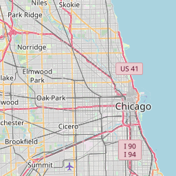
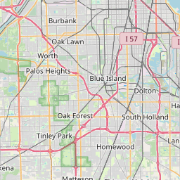
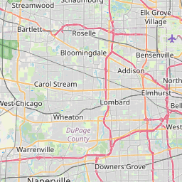
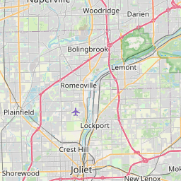
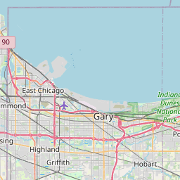
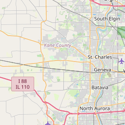
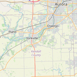
Distance Map Between Wheaton and Lansing
Wheaton, Springfield, United States ↔ Lansing, Springfield, United States = 36 miles = 58 km.


How far is it between Wheaton and Lansing
Wheaton is located in United States with (41.8661,-88.107) coordinates and Lansing is located in United States with (41.5648,-87.5389) coordinates. The calculated flying distance from Wheaton to Lansing is equal to 36 miles which is equal to 58 km.
If you want to go by car, the driving distance between Wheaton and Lansing is 74.08 km. If you ride your car with an average speed of 112 kilometers/hour (70 miles/h), travel time will be 00 hours 39 minutes. Please check the avg. speed travel time table on the right for various options.
Difference between fly and go by a car is 16 km.
| City/Place | Latitude and Longitude | GPS Coordinates |
|---|---|---|
| Wheaton | 41.8661, -88.107 | 41° 51´ 58.1040'' N 88° 6´ 25.2360'' W |
| Lansing | 41.5648, -87.5389 | 41° 33´ 53.1360'' N 87° 32´ 20.1480'' W |
Estimated Travel Time Between Wheaton and Lansing
| Average Speed | Travel Time |
|---|---|
| 30 mph (48 km/h) | 01 hours 32 minutes |
| 40 mph (64 km/h) | 01 hours 09 minutes |
| 50 mph (80 km/h) | 00 hours 55 minutes |
| 60 mph (97 km/h) | 00 hours 45 minutes |
| 70 mph (112 km/h) | 00 hours 39 minutes |
| 75 mph (120 km/h) | 00 hours 37 minutes |
Related Distances from Wheaton
| Cities | Distance |
|---|---|
| Wheaton to Chicago | 48 km |
| Wheaton to Naperville | 12 km |
| Wheaton to Aurora 2 | 30 km |
| Wheaton to Elgin | 31 km |
| Wheaton to Elmhurst | 19 km |
Related Distances to Lansing
| Cities | Distance |
|---|---|
| Macomb to Lansing 2 | 382 km |
| Lombard to Lansing 2 | 64 km |
| Niles to Lansing 2 | 64 km |
| Urbana to Lansing 2 | 195 km |
| Waukegan to Lansing 2 | 121 km |