Distance from Wheeling to Berwyn
Distance between Wheeling and Berwyn is 34 kilometers (21 miles).
Driving distance from Wheeling to Berwyn is 49 kilometers (31 miles).
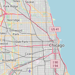
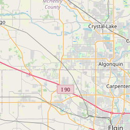
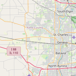
Distance Map Between Wheeling and Berwyn
Wheeling, Springfield, United States ↔ Berwyn, Springfield, United States = 21 miles = 34 km.


How far is it between Wheeling and Berwyn
Wheeling is located in United States with (42.1392,-87.929) coordinates and Berwyn is located in United States with (41.8506,-87.7937) coordinates. The calculated flying distance from Wheeling to Berwyn is equal to 21 miles which is equal to 34 km.
If you want to go by car, the driving distance between Wheeling and Berwyn is 49.18 km. If you ride your car with an average speed of 112 kilometers/hour (70 miles/h), travel time will be 00 hours 26 minutes. Please check the avg. speed travel time table on the right for various options.
Difference between fly and go by a car is 15 km.
| City/Place | Latitude and Longitude | GPS Coordinates |
|---|---|---|
| Wheeling | 42.1392, -87.929 | 42° 8´ 21.0840'' N 87° 55´ 44.2560'' W |
| Berwyn | 41.8506, -87.7937 | 41° 51´ 2.1240'' N 87° 47´ 37.2120'' W |
Estimated Travel Time Between Wheeling and Berwyn
| Average Speed | Travel Time |
|---|---|
| 30 mph (48 km/h) | 01 hours 01 minutes |
| 40 mph (64 km/h) | 00 hours 46 minutes |
| 50 mph (80 km/h) | 00 hours 36 minutes |
| 60 mph (97 km/h) | 00 hours 30 minutes |
| 70 mph (112 km/h) | 00 hours 26 minutes |
| 75 mph (120 km/h) | 00 hours 24 minutes |
Related Distances from Wheeling
| Cities | Distance |
|---|---|
| Wheeling to Aurora 2 | 76 km |
| Wheeling to Des Plaines | 14 km |
| Wheeling to Skokie | 27 km |
| Wheeling to Morton Grove | 25 km |
| Wheeling to Chicago | 49 km |
Related Distances to Berwyn
| Cities | Distance |
|---|---|
| Chicago to Berwyn | 19 km |
| Melrose Park to Berwyn | 11 km |
| Glenview to Berwyn | 44 km |
| Cicero to Berwyn | 4 km |
| Naperville to Berwyn | 37 km |