Distance from Wheeling to Fairview Heights
Distance between Wheeling and Fairview Heights is 432 kilometers (268 miles).
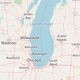
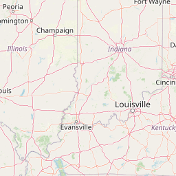
Distance Map Between Wheeling and Fairview Heights
Wheeling, Springfield, United States ↔ Fairview Heights, Springfield, United States = 268 miles = 432 km.


Leaflet | © OpenStreetMap
How far is it between Wheeling and Fairview Heights
Wheeling is located in United States with (42.1392,-87.929) coordinates and Fairview Heights is located in United States with (38.5889,-89.9904) coordinates. The calculated flying distance from Wheeling to Fairview Heights is equal to 268 miles which is equal to 432 km.
| City/Place | Latitude and Longitude | GPS Coordinates |
|---|---|---|
| Wheeling | 42.1392, -87.929 | 42° 8´ 21.0840'' N 87° 55´ 44.2560'' W |
| Fairview Heights | 38.5889, -89.9904 | 38° 35´ 20.1840'' N 89° 59´ 25.3680'' W |
Wheeling, Springfield, United States
Related Distances from Wheeling
| Cities | Distance |
|---|---|
| Wheeling to Aurora 2 | 76 km |
| Wheeling to Des Plaines | 14 km |
| Wheeling to Skokie | 27 km |
| Wheeling to Morton Grove | 25 km |
| Wheeling to Chicago | 49 km |
Fairview Heights, Springfield, United States
Related Distances to Fairview Heights
| Cities | Distance |
|---|---|
| O Fallon 2 to Fairview Heights | 9 km |
| Schaumburg to Fairview Heights | 470 km |
| Chicago to Fairview Heights | 465 km |
| Aurora 2 to Fairview Heights | 433 km |
| Granite City to Fairview Heights | 27 km |