Distance from Wilton to Ledyard Center
Distance between Wilton and Ledyard Center is 122 kilometers (76 miles).
Driving distance from Wilton to Ledyard Center is 140 kilometers (87 miles).
Distance Map Between Wilton and Ledyard Center
Wilton, Hartford, United States ↔ Ledyard Center, Hartford, United States = 76 miles = 122 km.


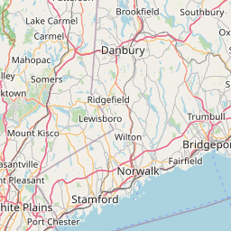
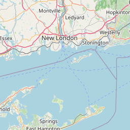


How far is it between Wilton and Ledyard Center
Wilton is located in United States with (41.1954,-73.4379) coordinates and Ledyard Center is located in United States with (41.4398,-72.0142) coordinates. The calculated flying distance from Wilton to Ledyard Center is equal to 76 miles which is equal to 122 km.
If you want to go by car, the driving distance between Wilton and Ledyard Center is 140.23 km. If you ride your car with an average speed of 112 kilometers/hour (70 miles/h), travel time will be 01 hours 15 minutes. Please check the avg. speed travel time table on the right for various options.
Difference between fly and go by a car is 18 km.
| City/Place | Latitude and Longitude | GPS Coordinates |
|---|---|---|
| Wilton | 41.1954, -73.4379 | 41° 11´ 43.3320'' N 73° 26´ 16.4400'' W |
| Ledyard Center | 41.4398, -72.0142 | 41° 26´ 23.3520'' N 72° 0´ 51.2640'' W |
Estimated Travel Time Between Wilton and Ledyard Center
| Average Speed | Travel Time |
|---|---|
| 30 mph (48 km/h) | 02 hours 55 minutes |
| 40 mph (64 km/h) | 02 hours 11 minutes |
| 50 mph (80 km/h) | 01 hours 45 minutes |
| 60 mph (97 km/h) | 01 hours 26 minutes |
| 70 mph (112 km/h) | 01 hours 15 minutes |
| 75 mph (120 km/h) | 01 hours 10 minutes |
Related Distances from Wilton
| Cities | Distance |
|---|---|
| Wilton to Stamford | 24 km |
| Wilton to Darien 2 | 16 km |
| Wilton to Danbury | 28 km |
| Wilton to Trumbull | 25 km |
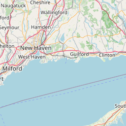
| Wilton to New Haven | 55 km |
Related Distances to Ledyard Center
| Cities | Distance |
|---|---|
| West Haven to Ledyard Center | 93 km |
| New London to Ledyard Center | 15 km |
| West Hartford to Ledyard Center | 89 km |
| Norwich 2 to Ledyard Center | 13 km |
| Waterbury to Ledyard Center | 123 km |