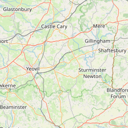
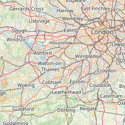
Distance from Woking to Yeovil
Distance between Woking and Yeovil is 151 kilometers (94 miles).
Driving distance from Woking to Yeovil is 170 kilometers (106 miles).
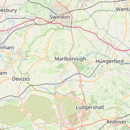
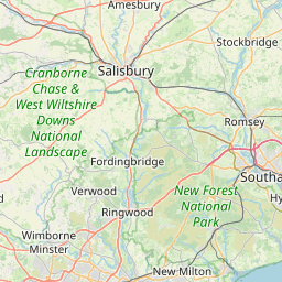
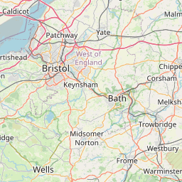
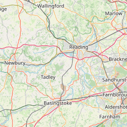
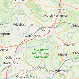
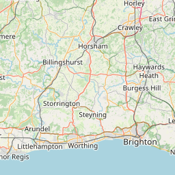
Distance Map Between Woking and Yeovil
Woking, London, United Kingdom ↔ Yeovil, London, United Kingdom = 94 miles = 151 km.


How far is it between Woking and Yeovil
Woking is located in United Kingdom with (51.319,-0.5589) coordinates and Yeovil is located in United Kingdom with (50.9416,-2.6321) coordinates. The calculated flying distance from Woking to Yeovil is equal to 94 miles which is equal to 151 km.
If you want to go by car, the driving distance between Woking and Yeovil is 169.98 km. If you ride your car with an average speed of 112 kilometers/hour (70 miles/h), travel time will be 01 hours 31 minutes. Please check the avg. speed travel time table on the right for various options.
Difference between fly and go by a car is 19 km.
| City/Place | Latitude and Longitude | GPS Coordinates |
|---|---|---|
| Woking | 51.319, -0.5589 | 51° 19´ 8.5080'' N 0° 33´ 32.1480'' W |
| Yeovil | 50.9416, -2.6321 | 50° 56´ 29.7240'' N 2° 37´ 55.5960'' W |
Estimated Travel Time Between Woking and Yeovil
| Average Speed | Travel Time |
|---|---|
| 30 mph (48 km/h) | 03 hours 32 minutes |
| 40 mph (64 km/h) | 02 hours 39 minutes |
| 50 mph (80 km/h) | 02 hours 07 minutes |
| 60 mph (97 km/h) | 01 hours 45 minutes |
| 70 mph (112 km/h) | 01 hours 31 minutes |
| 75 mph (120 km/h) | 01 hours 24 minutes |
Related Distances from Woking
| Cities | Distance |
|---|---|
| Woking to Wokingham | 27 km |
| Woking to Worthing | 66 km |
| Woking to York | 355 km |
| Woking to Yeovil | 170 km |
| Woking to Swindon | 103 km |
Related Distances to Yeovil
| Cities | Distance |
|---|---|
| Bristol to Yeovil | 67 km |
| Bridgwater to Yeovil | 41 km |
| City Of London to Yeovil | 211 km |
| Weston Super Mare to Yeovil | 64 km |
| Taunton to Yeovil | 44 km |