Distance from Wolcott to Trumbull
Distance between Wolcott and Trumbull is 44 kilometers (27 miles).
Driving distance from Wolcott to Trumbull is 54 kilometers (33 miles).
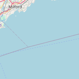
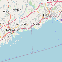
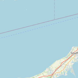
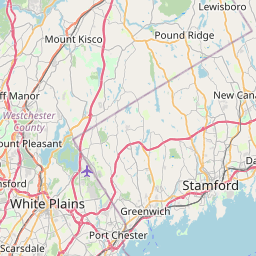
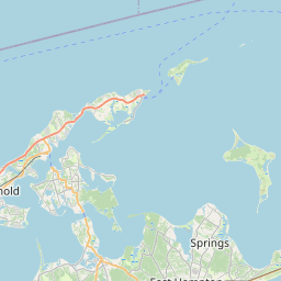
Distance Map Between Wolcott and Trumbull
Wolcott, Hartford, United States ↔ Trumbull, Hartford, United States = 27 miles = 44 km.


How far is it between Wolcott and Trumbull
Wolcott is located in United States with (41.6023,-72.9868) coordinates and Trumbull is located in United States with (41.2429,-73.2007) coordinates. The calculated flying distance from Wolcott to Trumbull is equal to 27 miles which is equal to 44 km.
If you want to go by car, the driving distance between Wolcott and Trumbull is 53.87 km. If you ride your car with an average speed of 112 kilometers/hour (70 miles/h), travel time will be 00 hours 28 minutes. Please check the avg. speed travel time table on the right for various options.
Difference between fly and go by a car is 10 km.
| City/Place | Latitude and Longitude | GPS Coordinates |
|---|---|---|
| Wolcott | 41.6023, -72.9868 | 41° 36´ 8.3520'' N 72° 59´ 12.3720'' W |
| Trumbull | 41.2429, -73.2007 | 41° 14´ 34.3320'' N 73° 12´ 2.4120'' W |
Estimated Travel Time Between Wolcott and Trumbull
| Average Speed | Travel Time |
|---|---|
| 30 mph (48 km/h) | 01 hours 07 minutes |
| 40 mph (64 km/h) | 00 hours 50 minutes |
| 50 mph (80 km/h) | 00 hours 40 minutes |
| 60 mph (97 km/h) | 00 hours 33 minutes |
| 70 mph (112 km/h) | 00 hours 28 minutes |
| 75 mph (120 km/h) | 00 hours 26 minutes |
Related Distances from Wolcott
| Cities | Distance |
|---|---|
| Wolcott to Danbury | 55 km |
| Wolcott to Naugatuck | 18 km |
| Wolcott to Wallingford | 35 km |
| Wolcott to Stamford | 95 km |
| Wolcott to Norwich 2 | 103 km |
Related Distances to Trumbull
| Cities | Distance |
|---|---|
| Westport to Trumbull | 20 km |
| Bridgeport to Trumbull | 14 km |
| West Hartford to Trumbull | 87 km |
| Waterbury to Trumbull | 45 km |
| West Haven to Trumbull | 28 km |