Distance from Woodstock to St. Thomas
Distance between Woodstock and St. Thomas is 53 kilometers (33 miles).
Driving distance from Woodstock to St. Thomas is 67 kilometers (42 miles).
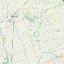
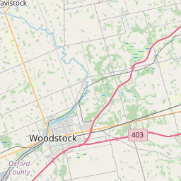
Distance Map Between Woodstock and St. Thomas
Woodstock, Ontario, Canada ↔ St. Thomas, Ontario, Canada = 33 miles = 53 km.


How far is it between Woodstock and St. Thomas
Woodstock is located in Canada with (43.1334,-80.7497) coordinates and St. Thomas is located in Canada with (42.7736,-81.1804) coordinates. The calculated flying distance from Woodstock to St. Thomas is equal to 33 miles which is equal to 53 km.
If you want to go by car, the driving distance between Woodstock and St. Thomas is 66.85 km. If you ride your car with an average speed of 112 kilometers/hour (70 miles/h), travel time will be 00 hours 35 minutes. Please check the avg. speed travel time table on the right for various options.
Difference between fly and go by a car is 14 km.
| City/Place | Latitude and Longitude | GPS Coordinates |
|---|---|---|
| Woodstock | 43.1334, -80.7497 | 43° 8´ 0.2040'' N 80° 44´ 58.9200'' W |
| St. Thomas | 42.7736, -81.1804 | 42° 46´ 24.9960'' N 81° 10´ 49.3680'' W |
Estimated Travel Time Between Woodstock and St. Thomas
| Average Speed | Travel Time |
|---|---|
| 30 mph (48 km/h) | 01 hours 23 minutes |
| 40 mph (64 km/h) | 01 hours 02 minutes |
| 50 mph (80 km/h) | 00 hours 50 minutes |
| 60 mph (97 km/h) | 00 hours 41 minutes |
| 70 mph (112 km/h) | 00 hours 35 minutes |
| 75 mph (120 km/h) | 00 hours 33 minutes |
Related Distances from Woodstock
| Cities | Distance |
|---|---|
| Woodstock to London 2 | 53 km |
| Woodstock to Toronto | 138 km |
| Woodstock to Brampton | 115 km |
| Woodstock to Stratford 2 | 37 km |
| Woodstock to Kitchener | 52 km |
Related Distances to St. Thomas
| Cities | Distance |
|---|---|
| Toronto to St Thomas | 202 km |
| Windsor to St Thomas | 186 km |
| Woodstock to St Thomas | 67 km |
| Thunder Bay to St Thomas | 1379 km |
| Waterloo to St Thomas | 125 km |