Distance from Wyandotte to Warren
Distance between Wyandotte and Warren is 31 kilometers (19 miles).
Driving distance from Wyandotte to Warren is 48 kilometers (30 miles).
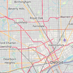
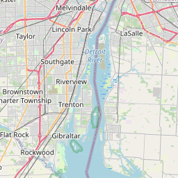
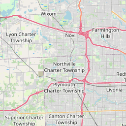
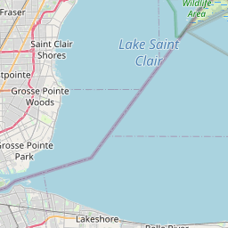
Distance Map Between Wyandotte and Warren
Wyandotte, Lansing, United States ↔ Warren, Lansing, United States = 19 miles = 31 km.

How far is it between Wyandotte and Warren
Wyandotte is located in United States with (42.2142,-83.1499) coordinates and Warren is located in United States with (42.4775,-83.0277) coordinates. The calculated flying distance from Wyandotte to Warren is equal to 19 miles which is equal to 31 km.
If you want to go by car, the driving distance between Wyandotte and Warren is 47.66 km. If you ride your car with an average speed of 112 kilometers/hour (70 miles/h), travel time will be 00 hours 25 minutes. Please check the avg. speed travel time table on the right for various options.
Difference between fly and go by a car is 17 km.
| City/Place | Latitude and Longitude | GPS Coordinates |
|---|---|---|
| Wyandotte | 42.2142, -83.1499 | 42° 12´ 51.1560'' N 83° 8´ 59.7120'' W |
| Warren | 42.4775, -83.0277 | 42° 28´ 39.1440'' N 83° 1´ 39.7200'' W |
Estimated Travel Time Between Wyandotte and Warren
| Average Speed | Travel Time |
|---|---|
| 30 mph (48 km/h) | 00 hours 59 minutes |
| 40 mph (64 km/h) | 00 hours 44 minutes |
| 50 mph (80 km/h) | 00 hours 35 minutes |
| 60 mph (97 km/h) | 00 hours 29 minutes |
| 70 mph (112 km/h) | 00 hours 25 minutes |
| 75 mph (120 km/h) | 00 hours 23 minutes |
Related Distances from Wyandotte
| Cities | Distance |
|---|---|
| Wyandotte to Detroit | 22 km |
| Wyandotte to Novi | 56 km |
| Wyandotte to Monroe 3 | 46 km |
| Wyandotte to Royal Oak | 43 km |
| Wyandotte to Allen Park | 9 km |
Related Distances to Warren
| Cities | Distance |
|---|---|
| Ypsilanti to Warren | 78 km |
| West Bloomfield Township to Warren | 40 km |
| Westland to Warren | 59 km |
| Youngstown to Warren 2 | 26 km |
| Willoughby to Warren 2 | 92 km |