Distance from Wylie to DeSoto
Distance between Wylie and DeSoto is 56 kilometers (35 miles).
Driving distance from Wylie to DeSoto is 70 kilometers (44 miles).
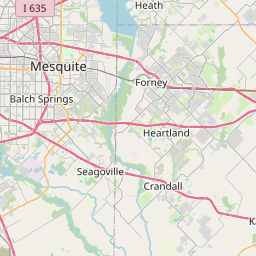
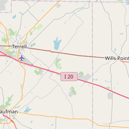
Distance Map Between Wylie and DeSoto
Wylie, Austin, United States ↔ DeSoto, Austin, United States = 35 miles = 56 km.


How far is it between Wylie and DeSoto
Wylie is located in United States with (33.0151,-96.5389) coordinates and DeSoto is located in United States with (32.5899,-96.857) coordinates. The calculated flying distance from Wylie to DeSoto is equal to 35 miles which is equal to 56 km.
If you want to go by car, the driving distance between Wylie and DeSoto is 70.3 km. If you ride your car with an average speed of 112 kilometers/hour (70 miles/h), travel time will be 00 hours 37 minutes. Please check the avg. speed travel time table on the right for various options.
Difference between fly and go by a car is 14 km.
| City/Place | Latitude and Longitude | GPS Coordinates |
|---|---|---|
| Wylie | 33.0151, -96.5389 | 33° 0´ 54.4320'' N 96° 32´ 19.9680'' W |
| DeSoto | 32.5899, -96.857 | 32° 35´ 23.4960'' N 96° 51´ 25.0200'' W |
Estimated Travel Time Between Wylie and DeSoto
| Average Speed | Travel Time |
|---|---|
| 30 mph (48 km/h) | 01 hours 27 minutes |
| 40 mph (64 km/h) | 01 hours 05 minutes |
| 50 mph (80 km/h) | 00 hours 52 minutes |
| 60 mph (97 km/h) | 00 hours 43 minutes |
| 70 mph (112 km/h) | 00 hours 37 minutes |
| 75 mph (120 km/h) | 00 hours 35 minutes |
Related Distances from Wylie
| Cities | Distance |
|---|---|
| Wylie to Plano | 16 km |
| Wylie to Dallas | 46 km |
| Wylie to Mckinney | 28 km |
| Wylie to Arlington | 78 km |
| Wylie to The Colony | 51 km |
Related Distances to DeSoto
| Cities | Distance |
|---|---|
| Fort Worth to Desoto | 63 km |
| Houston to Desoto | 380 km |
| Irving to Desoto | 40 km |
| Duncanville to Desoto | 12 km |
| Midlothian to Desoto | 22 km |