Distance from Xiazhen to Yantai
Distance between Xiazhen and Yantai is 489 kilometers (304 miles).
Driving distance from Xiazhen to Yantai is 623 kilometers (387 miles).
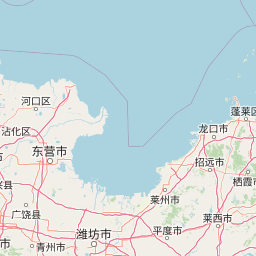
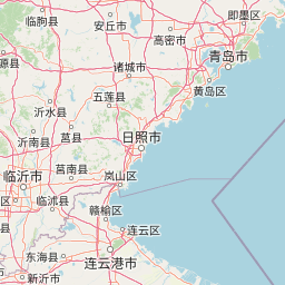
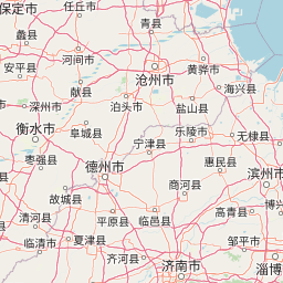
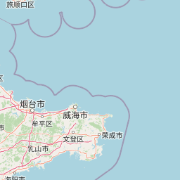
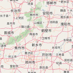
Distance Map Between Xiazhen and Yantai
Xiazhen, Jinan, China ↔ Yantai, Jinan, China = 304 miles = 489 km.
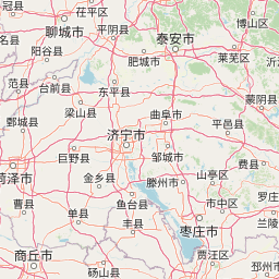

How far is it between Xiazhen and Yantai
Xiazhen is located in China with (34.8022,117.1117) coordinates and Yantai is located in China with (37.4765,121.4408) coordinates. The calculated flying distance from Xiazhen to Yantai is equal to 304 miles which is equal to 489 km.
If you want to go by car, the driving distance between Xiazhen and Yantai is 622.69 km. If you ride your car with an average speed of 112 kilometers/hour (70 miles/h), travel time will be 05 hours 33 minutes. Please check the avg. speed travel time table on the right for various options.
Difference between fly and go by a car is 134 km.
| City/Place | Latitude and Longitude | GPS Coordinates |
|---|---|---|
| Xiazhen | 34.8022, 117.1117 | 34° 48´ 7.9920'' N 117° 6´ 42.0120'' E |
| Yantai | 37.4765, 121.4408 | 37° 28´ 35.3640'' N 121° 26´ 26.9160'' E |
Estimated Travel Time Between Xiazhen and Yantai
| Average Speed | Travel Time |
|---|---|
| 30 mph (48 km/h) | 12 hours 58 minutes |
| 40 mph (64 km/h) | 09 hours 43 minutes |
| 50 mph (80 km/h) | 07 hours 47 minutes |
| 60 mph (97 km/h) | 06 hours 25 minutes |
| 70 mph (112 km/h) | 05 hours 33 minutes |
| 75 mph (120 km/h) | 05 hours 11 minutes |
Related Distances from Xiazhen
| Cities | Distance |
|---|---|
| Xiazhen to Luofeng | 555 km |
| Xiazhen to Yucheng | 74 km |
| Xiazhen to Qingzhou | 372 km |
| Xiazhen to Zoucheng | 83 km |
| Xiazhen to Yanzhou | 135 km |
Related Distances to Yantai
| Cities | Distance |
|---|---|
| Qingdao to Yantai | 233 km |
| Weihai to Yantai | 66 km |
| Pingdu to Yantai | 195 km |
| Rizhao to Yantai | 330 km |
| Linyi to Yantai | 488 km |