Distance from Xinhui to Shantou
Distance between Xinhui and Shantou is 389 kilometers (242 miles).
Driving distance from Xinhui to Shantou is 485 kilometers (302 miles).
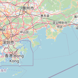
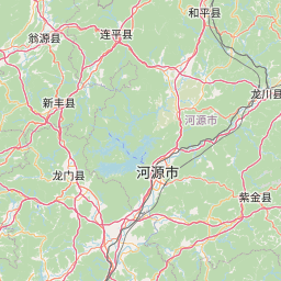
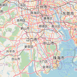
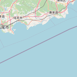
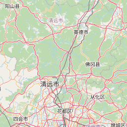
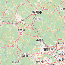
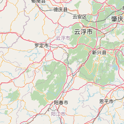
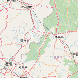
Distance Map Between Xinhui and Shantou
Xinhui, Guangzhou, China ↔ Shantou, Guangzhou, China = 242 miles = 389 km.


How far is it between Xinhui and Shantou
Xinhui is located in China with (22.456,113.0482) coordinates and Shantou is located in China with (23.3681,116.7148) coordinates. The calculated flying distance from Xinhui to Shantou is equal to 242 miles which is equal to 389 km.
If you want to go by car, the driving distance between Xinhui and Shantou is 485.37 km. If you ride your car with an average speed of 112 kilometers/hour (70 miles/h), travel time will be 04 hours 20 minutes. Please check the avg. speed travel time table on the right for various options.
Difference between fly and go by a car is 96 km.
| City/Place | Latitude and Longitude | GPS Coordinates |
|---|---|---|
| Xinhui | 22.456, 113.0482 | 22° 27´ 21.6000'' N 113° 2´ 53.5200'' E |
| Shantou | 23.3681, 116.7148 | 23° 22´ 5.3040'' N 116° 42´ 53.2440'' E |
Estimated Travel Time Between Xinhui and Shantou
| Average Speed | Travel Time |
|---|---|
| 30 mph (48 km/h) | 10 hours 06 minutes |
| 40 mph (64 km/h) | 07 hours 35 minutes |
| 50 mph (80 km/h) | 06 hours 04 minutes |
| 60 mph (97 km/h) | 05 hours 00 minutes |
| 70 mph (112 km/h) | 04 hours 20 minutes |
| 75 mph (120 km/h) | 04 hours 02 minutes |
Related Distances from Xinhui
| Cities | Distance |
|---|---|
| Xinhui to Heyuan | 295 km |
| Xinhui to Huicheng | 408 km |
| Xinhui to Huizhou | 192 km |
| Xinhui to Humen | 103 km |
| Xinhui to Jiangmen | 20 km |
| Xinhui to Jiazi | 387 km |
| Xinhui to Jieshi | 385 km |
| Xinhui to Jieyang | 436 km |
| Xinhui to Lecheng | 359 km |
| Xinhui to Lianjiang | 359 km |
Related Distances to Shantou
| Cities | Distance |
|---|---|
| Jiangmen to Shantou | 473 km |
| Huanggang to Shantou | 52 km |
| Maba to Shantou | 617 km |
| Dongguan to Shantou | 383 km |
| Zhongshan to Shantou | 797 km |
| Foshan to Shantou | 463 km |
| Puning to Shantou | 72 km |
| Haimen to Shantou | 33 km |
| Anbu to Shantou | 12 km |
| Meizhou to Shantou | 158 km |