Distance from Xintai to Yantai
Distance between Xintai and Yantai is 373 kilometers (232 miles).
Driving distance from Xintai to Yantai is 508 kilometers (316 miles).
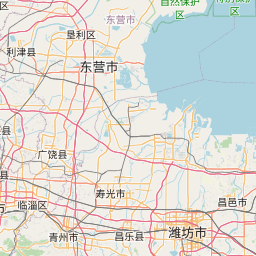
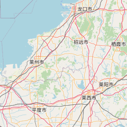
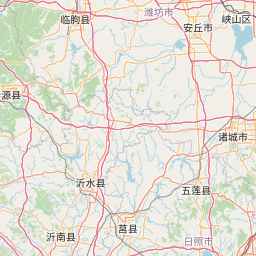
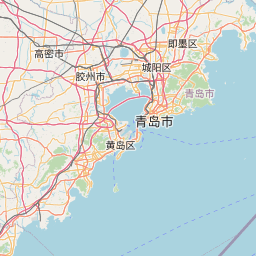
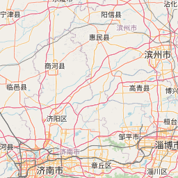
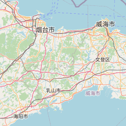
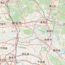
Distance Map Between Xintai and Yantai
Xintai, Jinan, China ↔ Yantai, Jinan, China = 232 miles = 373 km.

How far is it between Xintai and Yantai
Xintai is located in China with (35.9006,117.7519) coordinates and Yantai is located in China with (37.4765,121.4408) coordinates. The calculated flying distance from Xintai to Yantai is equal to 232 miles which is equal to 373 km.
If you want to go by car, the driving distance between Xintai and Yantai is 508.17 km. If you ride your car with an average speed of 112 kilometers/hour (70 miles/h), travel time will be 04 hours 32 minutes. Please check the avg. speed travel time table on the right for various options.
Difference between fly and go by a car is 135 km.
| City/Place | Latitude and Longitude | GPS Coordinates |
|---|---|---|
| Xintai | 35.9006, 117.7519 | 35° 54´ 2.0160'' N 117° 45´ 6.9840'' E |
| Yantai | 37.4765, 121.4408 | 37° 28´ 35.3640'' N 121° 26´ 26.9160'' E |
Estimated Travel Time Between Xintai and Yantai
| Average Speed | Travel Time |
|---|---|
| 30 mph (48 km/h) | 10 hours 35 minutes |
| 40 mph (64 km/h) | 07 hours 56 minutes |
| 50 mph (80 km/h) | 06 hours 21 minutes |
| 60 mph (97 km/h) | 05 hours 14 minutes |
| 70 mph (112 km/h) | 04 hours 32 minutes |
| 75 mph (120 km/h) | 04 hours 14 minutes |
Related Distances from Xintai
| Cities | Distance |
|---|---|
| Xintai to Zibo | 125 km |
| Xintai to Zaozhuang | 206 km |
| Xintai to Yishui | 101 km |
| Xintai to Luofeng | 385 km |
| Xintai to Zhoucun | 132 km |
Related Distances to Yantai
| Cities | Distance |
|---|---|
| Qingdao to Yantai | 233 km |
| Weihai to Yantai | 66 km |
| Pingdu to Yantai | 195 km |
| Rizhao to Yantai | 330 km |
| Linyi to Yantai | 488 km |