Distance from Yakima to Kent
Distance between Yakima and Kent is 157 kilometers (98 miles).
Driving distance from Yakima to Kent is 226 kilometers (140 miles).
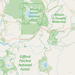
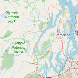
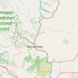
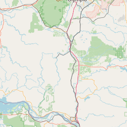
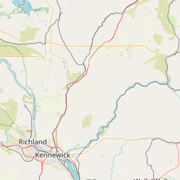
Distance Map Between Yakima and Kent
Yakima, Olympia, United States ↔ Kent, Olympia, United States = 98 miles = 157 km.
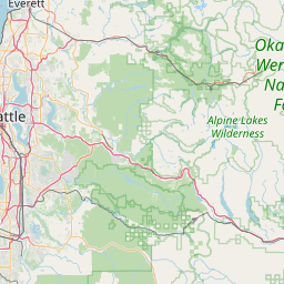


How far is it between Yakima and Kent
Yakima is located in United States with (46.6021,-120.5059) coordinates and Kent is located in United States with (47.3809,-122.2348) coordinates. The calculated flying distance from Yakima to Kent is equal to 98 miles which is equal to 157 km.
If you want to go by car, the driving distance between Yakima and Kent is 225.54 km. If you ride your car with an average speed of 112 kilometers/hour (70 miles/h), travel time will be 02 hours 00 minutes. Please check the avg. speed travel time table on the right for various options.
Difference between fly and go by a car is 69 km.
| City/Place | Latitude and Longitude | GPS Coordinates |
|---|---|---|
| Yakima | 46.6021, -120.5059 | 46° 36´ 7.4520'' N 120° 30´ 21.2400'' W |
| Kent | 47.3809, -122.2348 | 47° 22´ 51.3480'' N 122° 14´ 5.4240'' W |
Estimated Travel Time Between Yakima and Kent
| Average Speed | Travel Time |
|---|---|
| 30 mph (48 km/h) | 04 hours 41 minutes |
| 40 mph (64 km/h) | 03 hours 31 minutes |
| 50 mph (80 km/h) | 02 hours 49 minutes |
| 60 mph (97 km/h) | 02 hours 19 minutes |
| 70 mph (112 km/h) | 02 hours 00 minutes |
| 75 mph (120 km/h) | 01 hours 52 minutes |
Related Distances from Yakima
| Cities | Distance |
|---|---|
| Yakima to Seattle | 229 km |
| Yakima to Wenatchee | 182 km |
| Yakima to Ellensburg | 58 km |
| Yakima to Walla Walla | 211 km |
| Yakima to Spokane | 325 km |
Related Distances to Kent
| Cities | Distance |
|---|---|
| Seattle to Kent | 34 km |
| Renton to Kent | 14 km |
| Puyallup to Kent | 26 km |
| Maple Valley to Kent | 16 km |
| Tacoma to Kent | 31 km |