Distance from Yarmouth to Hanover
Distance between Yarmouth and Hanover is 66 kilometers (41 miles).
Driving distance from Yarmouth to Hanover is 82 kilometers (51 miles).
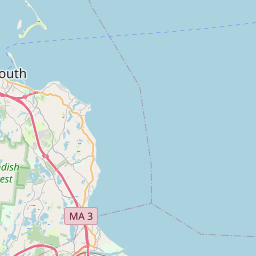
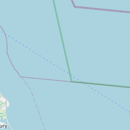
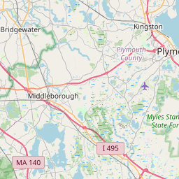
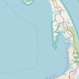
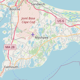
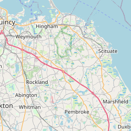
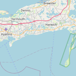
Distance Map Between Yarmouth and Hanover
Yarmouth, Boston, United States ↔ Hanover, Boston, United States = 41 miles = 66 km.


How far is it between Yarmouth and Hanover
Yarmouth is located in United States with (41.7057,-70.2286) coordinates and Hanover is located in United States with (42.1132,-70.812) coordinates. The calculated flying distance from Yarmouth to Hanover is equal to 41 miles which is equal to 66 km.
If you want to go by car, the driving distance between Yarmouth and Hanover is 82.48 km. If you ride your car with an average speed of 112 kilometers/hour (70 miles/h), travel time will be 00 hours 44 minutes. Please check the avg. speed travel time table on the right for various options.
Difference between fly and go by a car is 16 km.
| City/Place | Latitude and Longitude | GPS Coordinates |
|---|---|---|
| Yarmouth | 41.7057, -70.2286 | 41° 42´ 20.4120'' N 70° 13´ 43.0680'' W |
| Hanover | 42.1132, -70.812 | 42° 6´ 47.3760'' N 70° 48´ 43.1640'' W |
Estimated Travel Time Between Yarmouth and Hanover
| Average Speed | Travel Time |
|---|---|
| 30 mph (48 km/h) | 01 hours 43 minutes |
| 40 mph (64 km/h) | 01 hours 17 minutes |
| 50 mph (80 km/h) | 01 hours 01 minutes |
| 60 mph (97 km/h) | 00 hours 51 minutes |
| 70 mph (112 km/h) | 00 hours 44 minutes |
| 75 mph (120 km/h) | 00 hours 41 minutes |
Related Distances from Yarmouth
| Cities | Distance |
|---|---|
| Yarmouth to Weymouth | 100 km |
| Yarmouth to South Boston | 116 km |
| Yarmouth to Barnstable | 6 km |
| Yarmouth to Amesbury | 184 km |
| Yarmouth to Lexington 2 | 149 km |
Related Distances to Hanover
| Cities | Distance |
|---|---|
| Mansfield 4 to Hanover 2 | 58 km |
| Worcester to Hanover 2 | 109 km |
| Milton 3 to Hanover 2 | 30 km |
| Weymouth to Hanover 2 | 21 km |
| Randolph to Hanover 2 | 21 km |