Distance from Zlatoust to Kyzylorda
Distance between Zlatoust and Kyzylorda is 1220 kilometers (758 miles).
Driving distance from Zlatoust to Kyzylorda is 1624 kilometers (1009 miles).
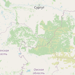
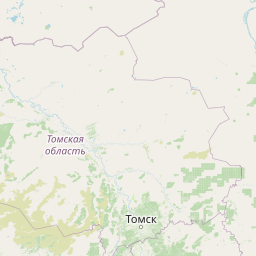
Distance Map Between Zlatoust and Kyzylorda
Zlatoust, Chelyabinsk, Russia ↔ Kyzylorda, Kazakhstan = 758 miles = 1220 km.


How far is it between Zlatoust and Kyzylorda
Zlatoust is located in Russia with (55.1711,59.6508) coordinates and Kyzylorda is located in Kazakhstan with (44.8528,65.5092) coordinates. The calculated flying distance from Zlatoust to Kyzylorda is equal to 758 miles which is equal to 1220 km.
If you want to go by car, the driving distance between Zlatoust and Kyzylorda is 1623.74 km. If you ride your car with an average speed of 112 kilometers/hour (70 miles/h), travel time will be 14 hours 29 minutes. Please check the avg. speed travel time table on the right for various options.
Difference between fly and go by a car is 404 km.
| City/Place | Latitude and Longitude | GPS Coordinates |
|---|---|---|
| Zlatoust | 55.1711, 59.6508 | 55° 10´ 15.9960'' N 59° 39´ 2.9880'' E |
| Kyzylorda | 44.8528, 65.5092 | 44° 51´ 10.0080'' N 65° 30´ 33.0120'' E |
Estimated Travel Time Between Zlatoust and Kyzylorda
| Average Speed | Travel Time |
|---|---|
| 30 mph (48 km/h) | 33 hours 49 minutes |
| 40 mph (64 km/h) | 25 hours 22 minutes |
| 50 mph (80 km/h) | 20 hours 17 minutes |
| 60 mph (97 km/h) | 16 hours 44 minutes |
| 70 mph (112 km/h) | 14 hours 29 minutes |
| 75 mph (120 km/h) | 13 hours 31 minutes |
Related Distances from Zlatoust
| Cities | Distance |
|---|---|
| Zlatoust to Astana | 1102 km |
| Zlatoust to Kostanay | 402 km |
| Zlatoust to Kyzylorda | 1624 km |
| Zlatoust to Taraz | 2238 km |
| Zlatoust to Karagandy | 1327 km |
Related Distances to Kyzylorda
| Cities | Distance |
|---|---|
| Mozhga to Kyzylorda | 1980 km |
| Omsk to Kyzylorda | 1562 km |
| Glazov to Kyzylorda | 2234 km |
| Chelyabinsk to Kyzylorda | 1540 km |
| Yekaterinburg to Kyzylorda | 1768 km |