Distance from Zlatoust to Pavlodar
Distance between Zlatoust and Pavlodar is 1183 kilometers (735 miles).
Driving distance from Zlatoust to Pavlodar is 1512 kilometers (940 miles).
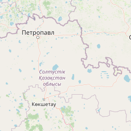
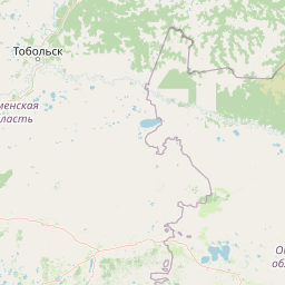
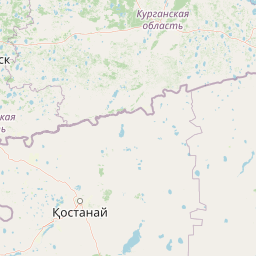
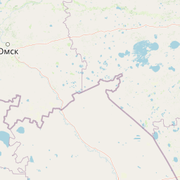
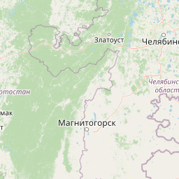
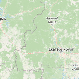
Distance Map Between Zlatoust and Pavlodar
Zlatoust, Chelyabinsk, Russia ↔ Pavlodar, Kazakhstan = 735 miles = 1183 km.


How far is it between Zlatoust and Pavlodar
Zlatoust is located in Russia with (55.1711,59.6508) coordinates and Pavlodar is located in Kazakhstan with (52.274,77.0044) coordinates. The calculated flying distance from Zlatoust to Pavlodar is equal to 735 miles which is equal to 1183 km.
If you want to go by car, the driving distance between Zlatoust and Pavlodar is 1512.47 km. If you ride your car with an average speed of 112 kilometers/hour (70 miles/h), travel time will be 13 hours 30 minutes. Please check the avg. speed travel time table on the right for various options.
Difference between fly and go by a car is 329 km.
| City/Place | Latitude and Longitude | GPS Coordinates |
|---|---|---|
| Zlatoust | 55.1711, 59.6508 | 55° 10´ 15.9960'' N 59° 39´ 2.9880'' E |
| Pavlodar | 52.274, 77.0044 | 52° 16´ 26.4360'' N 77° 0´ 15.7680'' E |
Estimated Travel Time Between Zlatoust and Pavlodar
| Average Speed | Travel Time |
|---|---|
| 30 mph (48 km/h) | 31 hours 30 minutes |
| 40 mph (64 km/h) | 23 hours 37 minutes |
| 50 mph (80 km/h) | 18 hours 54 minutes |
| 60 mph (97 km/h) | 15 hours 35 minutes |
| 70 mph (112 km/h) | 13 hours 30 minutes |
| 75 mph (120 km/h) | 12 hours 36 minutes |
Related Distances from Zlatoust
| Cities | Distance |
|---|---|
| Zlatoust to Astana | 1102 km |
| Zlatoust to Kostanay | 402 km |
| Zlatoust to Kyzylorda | 1624 km |
| Zlatoust to Taraz | 2238 km |
| Zlatoust to Karagandy | 1327 km |
Related Distances to Pavlodar
| Cities | Distance |
|---|---|
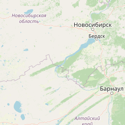
| Novosibirsk to Pavlodar | 592 km |
| Omsk to Pavlodar | 423 km |
| Barnaul to Pavlodar | 521 km |
| Chelyabinsk to Pavlodar | 1357 km |
| Ozersk to Pavlodar | 1412 km |