Loveland Distances
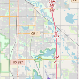
Loveland is located in Denver city, United States at the 40.3978, -105.075 coordinates. Distance from Loveland to other cities. are listed below, click on the city name to find distance between. Distance from Loveland to Colorado Springs 175 km, to Aurora 77 km, to Fort Collins 21 km. The green marker indicates the location of Loveland.


Leaflet | © OpenStreetMap
Distance Between Loveland and Cities
List of distances from Loveland to United States cities.
Distance from Loveland to Foreign Cities
Choose a city to calculate distance from Loveland to major cities in the world.
- Loveland to Vancouver
- Loveland to Ciudad Juarez
- Loveland to Tijuana
- Loveland to Monterrey
- Loveland to Calgary
- Loveland to Chihuahua
- Loveland to Guadalupe
- Loveland to Edmonton
- Loveland to Winnipeg
- Loveland to Saltillo
- Loveland to Mexicali
- Loveland to Hermosillo
- Loveland to Torreon
- Loveland to Reynosa
- Loveland to Heroica Matamoros
- Loveland to San Nicolas de los Garza
- Loveland to Surrey
- Loveland to Apodaca
- Loveland to Nuevo Laredo
- Loveland to General Escobedo
- Loveland to Okanagan